Iceland Day 5
Today’s subtitle is “Laki – not“.
Quoting Wikipedia, which lists much more about the global consequences:
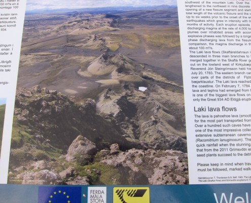
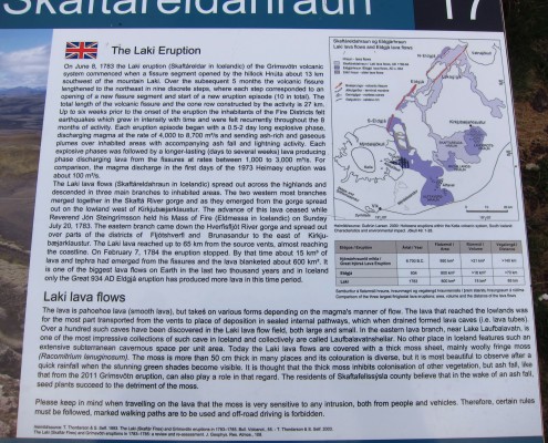
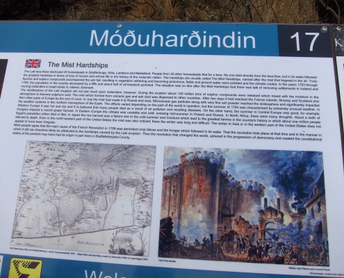
Laki (properly Lakagígar) erupted over an eight-month period between 1783 and 1784 from the Laki fissure and the adjoining Grímsvötn volcano, pouring out an estimated 14 km3 (3.4 cu mi) of basalt lava and clouds of poisonous hydrofluoric acid and sulfur dioxide compounds that killed over 50% of Iceland’s livestock population, leading to a famine which then killed approximately 25% of the island’s human population.
The Laki eruption and its aftermath caused a drop in global temperatures, as sulfur dioxide was spewed into the Northern Hemisphere. This caused crop failures in Europe and may have caused droughts in India. The eruption has been estimated to have killed over six million people globally, making it the deadliest in historical times.
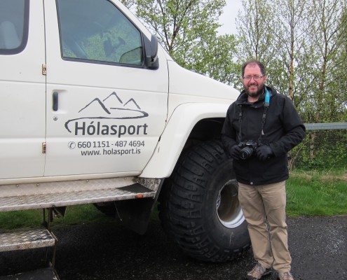
Plan A was to take a super jeep tour to view the craters. The craters are unique — a 25 km row that looks really bizarre. We knew getting there was a bit iffy this early in June, as the snow may not be melted off. Plan B was to take a different route proposed by the tour company, and we were expecting Plan B. But Iceland is having the coldest spring in 30 years, so Laki is still buried. Below is our Plan C day.
[Note to future selves: Iceland Air doesn’t charge for layovers. The next time we travel to Europe in mid-summer, we should put this on the itinerary. Also put on the list a winter layover for the Northern Lights? Great idea, as long as the current constant cloud cover isn’t a factor 🙁 ]
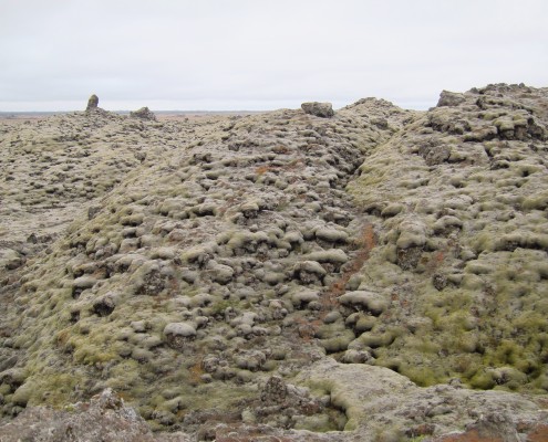
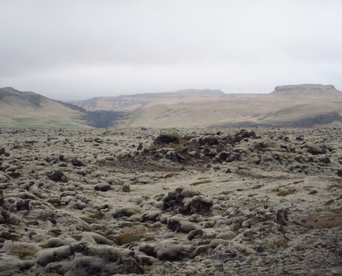
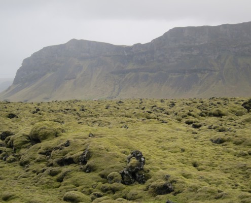
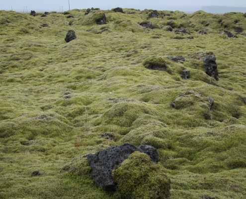
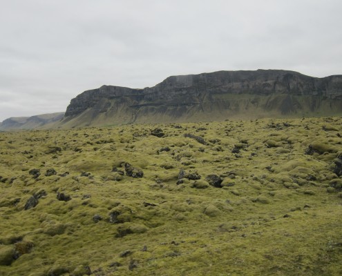
What you can see at lower elevations is miles of lava fields, much of it covered in moss, which is already up to 30 cm thick.
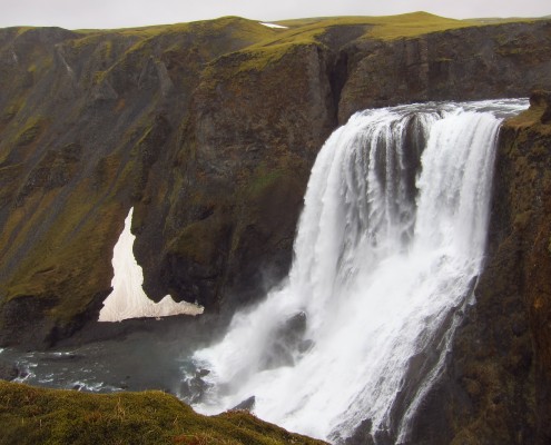
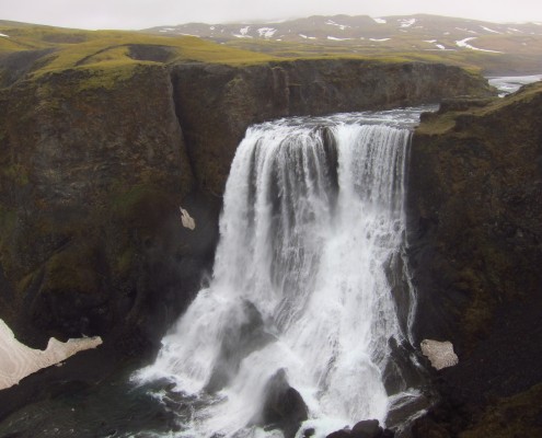
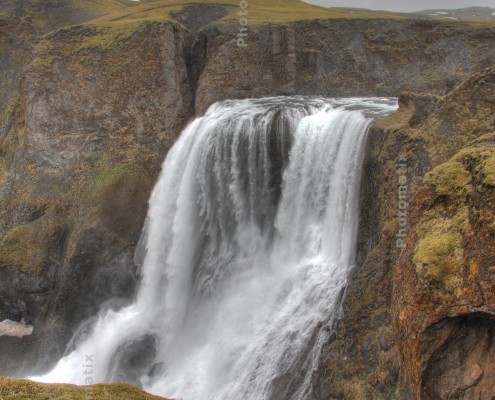
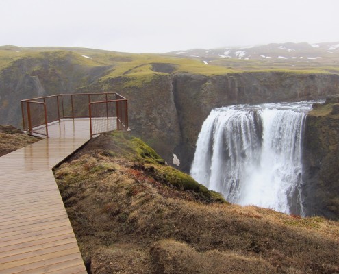
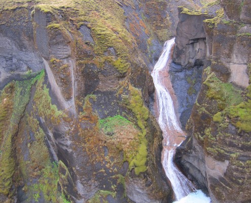
Fagrifoss waterfall is up a jeep road, we could not have gotten here by ourselves.
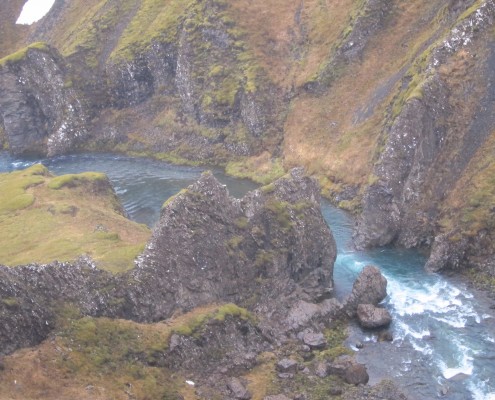
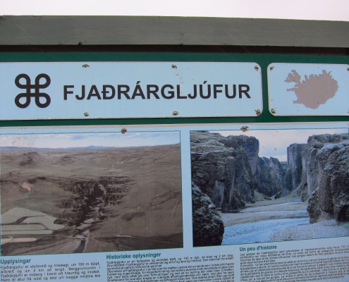
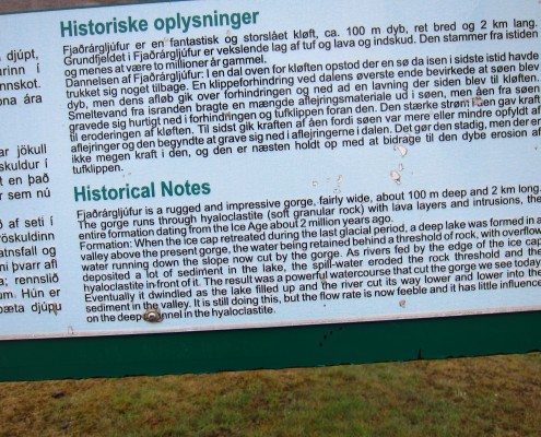
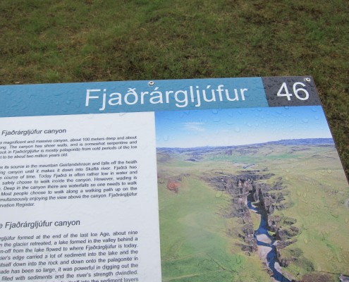
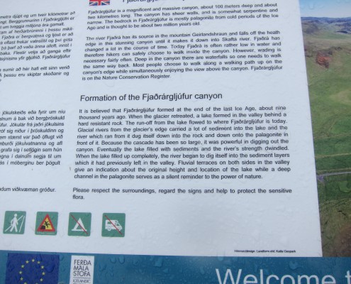
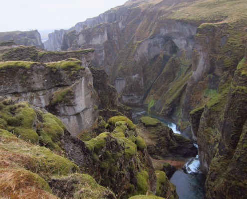
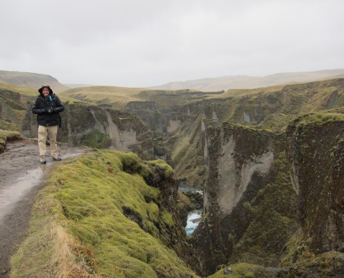
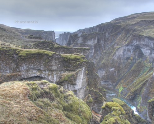
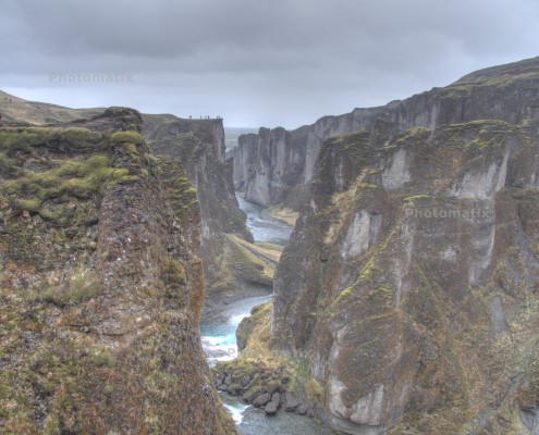
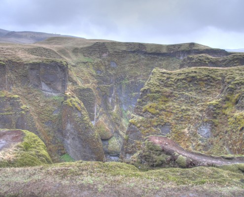
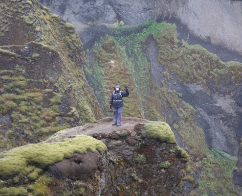
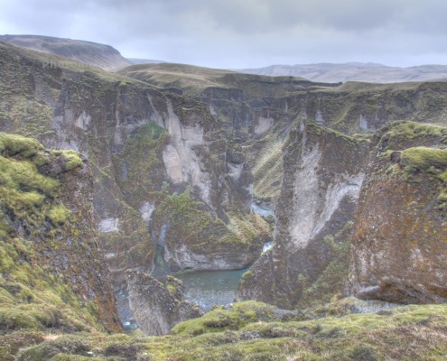
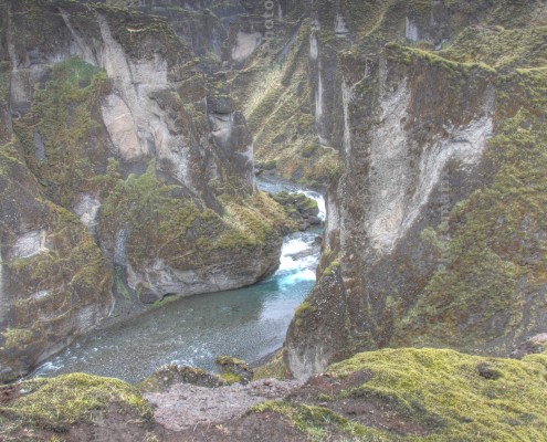
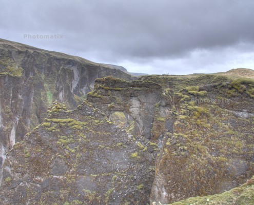
Fjaðrárgljúfur canyon looks like a movie set for an elfin wonderland.
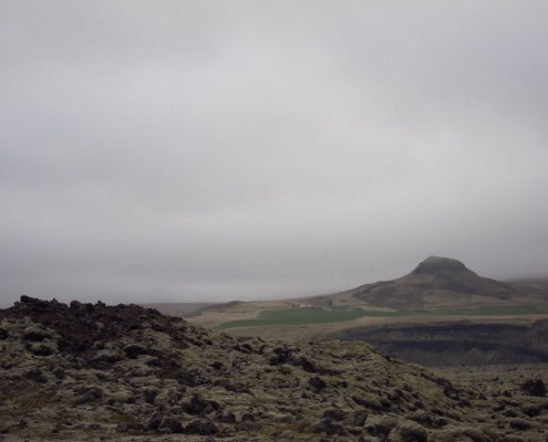
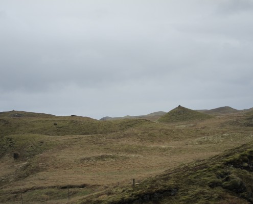
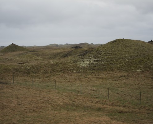
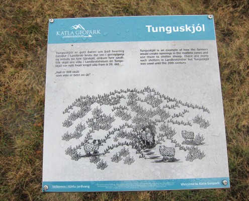
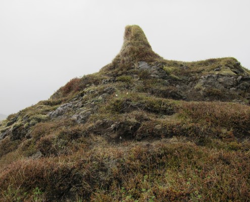
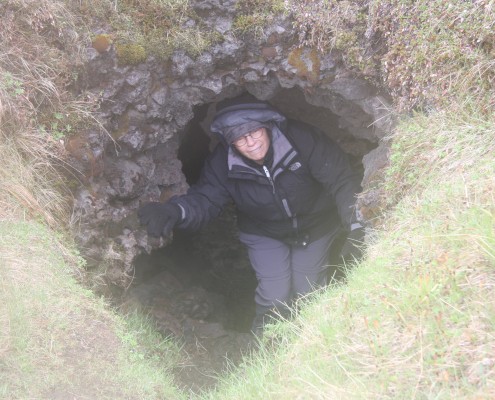
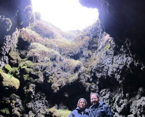
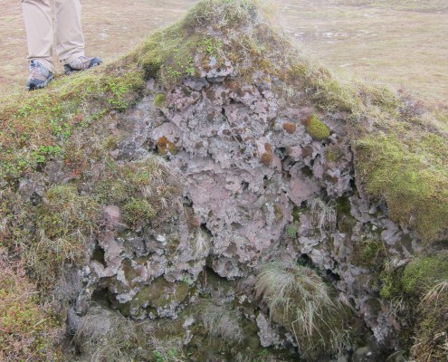
Landbrotshólar is the most extensive area of pseudocraters in Iceland. Pseudocraters form when lava flows into rivers or wetlands. When the 1100°C hot lava comes in contact with water, heavy explosions occur as the water boils instantly. These pseudocraters look like breasts, complete with nipples. Turns out that the nipples are made from 1000 years of bird poo, of course they like to sit on the high points! Sheep herders carved holes into some of them to use as storm shelters for their flocks, we were guided in one. And told it was the home of the elves.
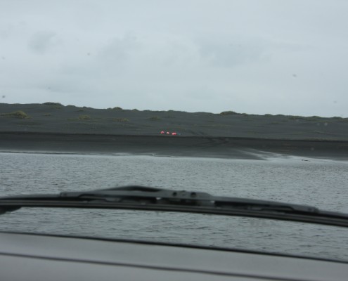
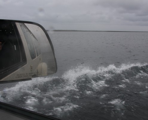
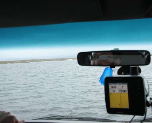
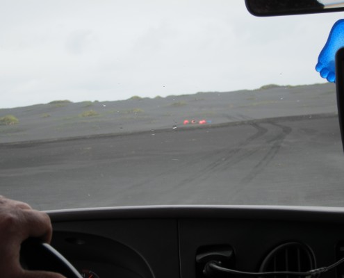
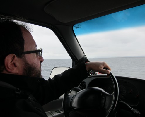
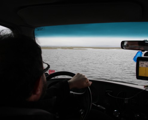
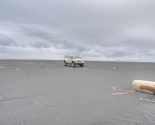
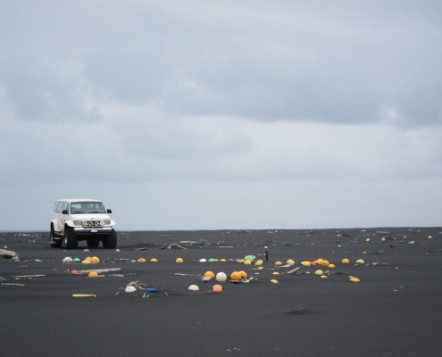
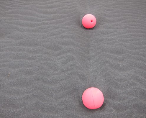
Next stop, black sand beaches. But first we had to get there, across 300 meters of water that is about 40-70 cm deep. Yup, that’s Wayne driving on the return. Aim for those orange buoys, please.
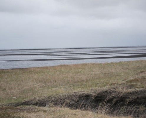
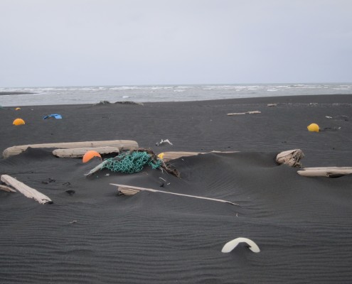
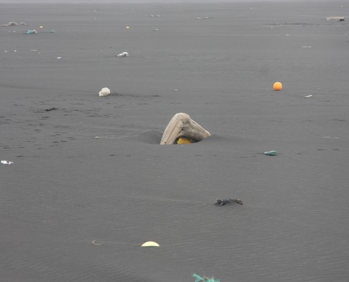
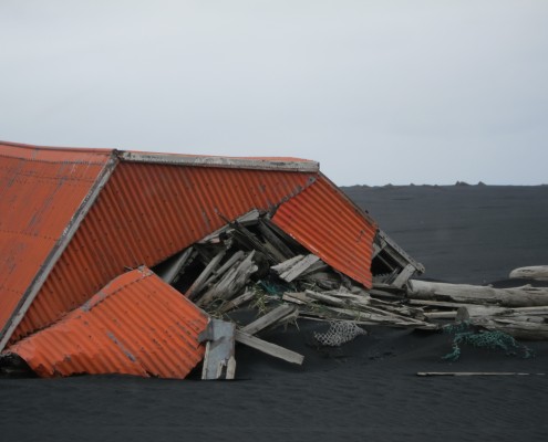
Black sand beaches. These are the biggest beaches we’ve ever seen, they go forever. Many ships have foundered here, they don’t realize how close in the are and how shallow the water is. The orange shed is a former emergency shelter.
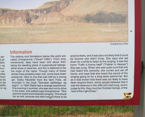
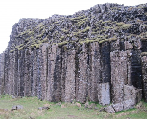
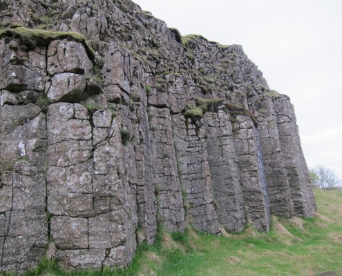
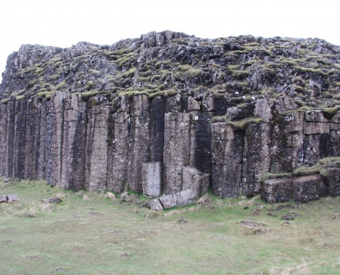
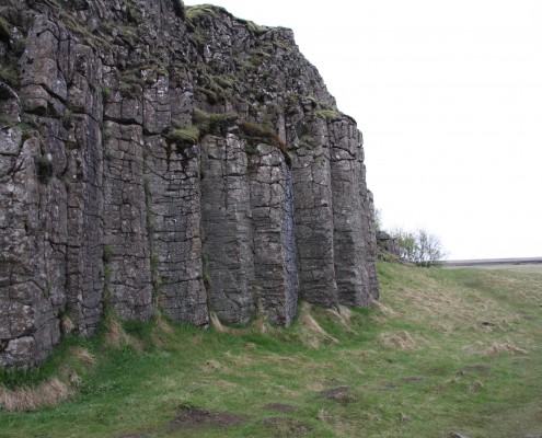
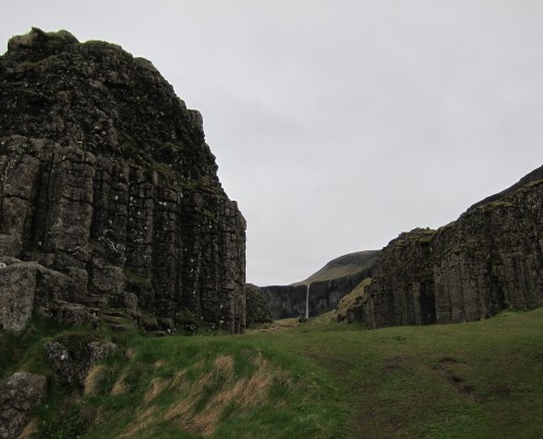
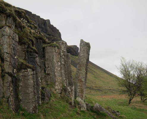
Dverghamrar (Dwarf Rocks)

